Going, going,…
Last week’s post on east Bristol’s Wain Brook (posts passim) attracted considerable interest on social media amongst local residents with a love of local history and maps.
These interested parties included a member of the original team that put together the online Know Your Place mapping project, who commented further that he’s currently working on a flood mapping project that will include a number of Bristol’s hidden watercourses.
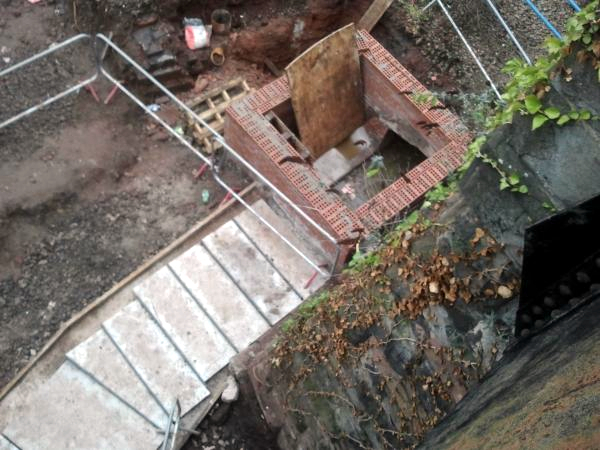
Yesterday another peek over the bridge parapet at Lawrence Hill revealed that there’s now less of the Wain Brook to be seen as the works progress: it can still be seen flowing left to right in the masonry inspection chamber.
However, this hidden watercourse will soon disappear once more beneath the trackbed: and who knows how long will pass before it once more sees the light of day.
